GIS
Geographic Information System
MEET OUR GIS TEAM
GIS SERVICES
GPS Mapping
Uses GPS technology to collect and map spatial data with high accuracy. This service is essential for fieldwork, asset tracking, and infrastructure mapping.
What Is GIS?
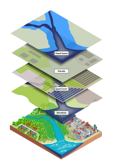
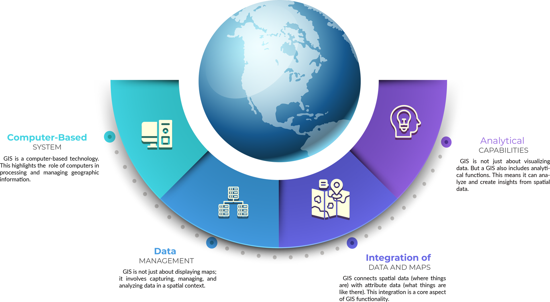
GIS integrates, stores, edits, shares, and displays geographic data to assist in more informed decision making. The distinction between GIS and other computerized mapping applications is in the ability to analyze and represent spatial relationships. Anyone can pick up a map or open a basic computerized mapping program and look at layers of data. However, GIS drills down inside the data to reveal more information than what’s seen on the surface.
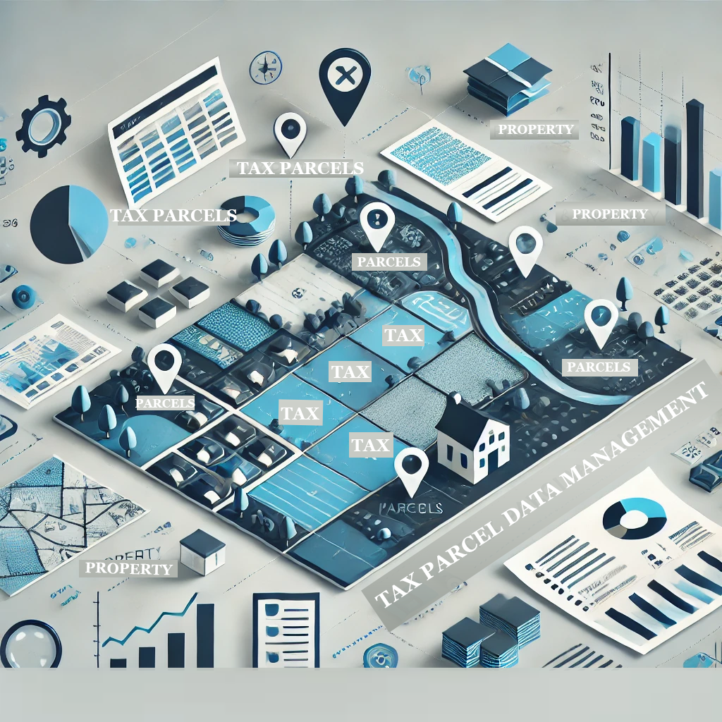
Map layers can be analyzed to define how they relate to each other. GIS is able to distinguish not only the similarities between features but also their differences. For example, do you want to know how many tax parcels contain a particular type soil, or how many acres of that type soil? GIS will tell you in a snap!
A Resource for local Governments
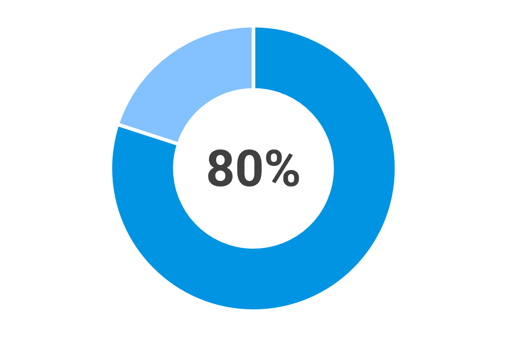
It is estimated that 80% of the informational needs of local government policy makers are related to geographic location.
Why GIS?
Many of our local governments are increasingly using GIS to provide accurate, up-to-date information across all departments. GIS supports various sectors, including tax appraisers, utilities, public works, and public safety, by offering a more organized way to manage assets and spatial data. Unlike paper or CAD-based maps, GIS integrates spatial data with additional attribute information, making it easily accessible with the push of a button.


